A Deep Dive into Hydrologic and Hydraulic Modeling for Urban Drainage Systems
In the fast-paced world of urban growth and development, managing water resources efficiently is no longer just a suggestion—it’s a necessity. At the heart of effective water management in cities lies hydrologic and hydraulic modeling, two concepts that are often interlinked yet distinct. Ready to uncover what makes them so crucial? Let’s dive right in!
The Foundations of Hydrologic and Hydraulic Modeling
First things first: what exactly are these models?
Hydrologic Modeling
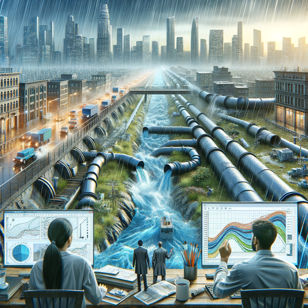
This involves simulating the movement, distribution, and quality of water within the soil and across the surface. In essence, it’s about understanding how rainfall becomes runoff, how it infiltrates into the ground, and how it eventually makes its way to rivers and lakes.
Hydraulic Modeling
On the flip side, hydraulic modeling focuses on the behavior of water as it moves through systems such as pipes, channels, and culverts. It’s like being the water-wrangler! This comes into play when we need to figure out how fast water will flow, how much of it will back up, and where it will overflow.
Why Are Hydrologic and Hydraulic Models Important?
Now that we’ve laid the groundwork, let’s explore the significance of these models in urban drainage systems. Here are some key reasons:
- Flood Risk Management: By predicting rainfall patterns and surface runoff, these models help in planning for potential flooding events. They assist city planners and engineers in designing drainage systems that can cope with extreme weather.
- Infrastructure Design: Hydraulic modeling informs the design of urban infrastructure such as sewers, stormwater management systems, and levees. Understanding the flow dynamics ensures these structures can handle anticipated water volumes.
- Water Quality Assessment: Urban runoff often contains pollutants; hydrologic models can assess how these contaminants travel through the environment, helping cities to implement better water quality control measures.
- Resource Management: Effective modeling aids in managing water resources, ensuring adequate supply for consumption, agriculture, and recreation while minimizing waste and environmental impact.
How Do These Models Work?
Great question! Let’s take a peek under the hood, shall we? Both hydrologic and hydraulic models rely on a mix of data inputs:
- Topography: The lay of the land plays a huge role in determining how water will flow. Elevation maps give insights into potential drainage paths.
- Soil Type: Different soils absorb water at different rates. Knowing whether the ground is sandy, clayey, or loamy helps in predicting water runoff.
- Land Use: Urban areas with lots of pavement and buildings experience more runoff compared to forests or grasslands. Land use data informs the models about surface impermeability.
- Weather Patterns: Historical weather data helps in making predictions about future rainfall, allowing models to simulate various scenarios.
Real-World Application
Let’s look at a couple of real-life scenarios where hydrologic and hydraulic modeling made waves—pun intended!
The City of Atlanta
Facing frequent flooding issues, Atlanta adopted sophisticated modeling techniques to overhaul its drainage systems. The city used these models to pinpoint vulnerable spots and develop an upgraded infrastructure capable of managing heavy rainfall, significantly reducing flooding events.
New Orleans and Post-Katrina Improvements
After Hurricane Katrina, New Orleans revamped its flood prevention strategy using advanced hydrologic modeling. They implemented systems that could accurately simulate storm surges and rainfall impacts, drastically improving the city’s resilience to future storms.
The Future of Urban Drainage: Challenges and Innovations
While the benefits are huge, there are still challenges to tackle. Here are a few:
- Data Quality: The models are only as good as the data fed into them. Inaccurate or outdated data can lead to poorly designed systems.
- Public Engagement: Stakeholders need to be involved in the modeling process to ensure transparency and trust in the results.
- Integrating Technology: As cities grow smarter, there’s potential to couple modeling with sensors and real-time data, making systems more adaptable.
Wrapping It Up!
So, there you have it! Hydrologic and hydraulic modeling are pivotal in sculpting the future of urban drainage systems, ensuring our cities not only survive but thrive amidst the challenges posed by water management. From combating flooding to enhancing water quality, these models empower us to make informed decisions that echo throughout our urban landscapes.
As cities continue to expand and environment challenges rise, let’s keep pushing the boundaries of what these powerful tools can achieve. Cheers to smarter cities!